I am currently working on a weather widget, and I’ve used the new SFSymbol support in the current Scriptable beta (version 1.5.1) to write a function that correlates weather conditions to SFSymbols. I added my function to @egamez’s code and made a couple slight modifications. It worked pretty well for me!
Here’s the full code:
// Variables used by Scriptable.
// These must be at the very top of the file. Do not edit.
// icon-color: yellow; icon-glyph: cloud;
// Widget Params
// Don't edit this, those are default values for debugging (location for Cupertino).
// You need to give your locations parameters through the widget params, more info below.
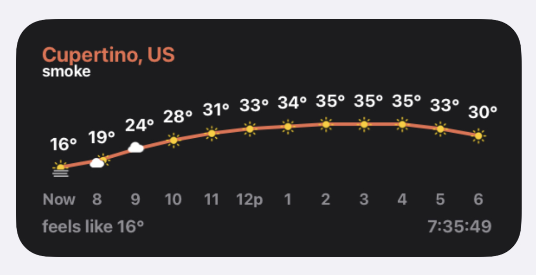
const widgetParams = JSON.parse((args.widgetParameter != null) ? args.widgetParameter : '{ "LAT" : "37.32" , "LON" : "-122.03" , "LOC_NAME" : "Cupertino, US" }')
// WEATHER API PARAMETERS !important
// API KEY, you need an Open Weather API Key
// You can get one for free at: https://home.openweathermap.org/api_keys (account needed).
const API_KEY = ""
// Latitude and Longitude of the location where you get the weather of.
// You can get those from the Open Weather website while searching for a city, etc.
// This values are getted from the widget parameters, the widget parameters is a JSON string that looks like this:
// { "LAT" : "<latitude>" , "LON" : "<longitude>" , "LOC_NAME" : "<name to display>" }
// This to allow multiple instances of the widget with different locations, if you will only use one instance (1 widget), you can "hardcode" the values here.
// Note: To debug the widget you need to place the values here, because when playing the script in-app the widget parameters are null (= crash).
const LAT = widgetParams.LAT
const LON = widgetParams.LON
const LOCATION_NAME = widgetParams.LOC_NAME
// Looking settings
// This are settings to customize the looking of the widgets, because this was made an iPhone SE (2016) screen, I can't test for bigger screens.
// So feel free to modify this to your taste.
// units : string > Defines the unit used to measure the temps, for temperatures in Fahrenheit use "imperial", "metric" for Celcius and "standard" for Kelvin (Default: "metric").
const units = "metric"
// roundedGraph : true|false > true (Use rounded values to draw the graph) | false (Draws the graph using decimal values, this can be used to draw an smoother line).
const roundedGraph = true
// roundedTemp : true|false > true (Displays the temps rounding the values (29.8 = 30 | 29.3 = 29).
const roundedTemp = true
// hoursToShow : number > Number of predicted hours to show, Eg: 3 = a total of 4 hours in the widget (Default: 3 for the small widget and 11 for the medium one).
const hoursToShow = (config.widgetFamily == "small") ? 3 : 11;
// spaceBetweenDays : number > Size of the space between the temps in the graph in pixels. (Default: 60 for the small widget and 44 for the medium one).
const spaceBetweenDays = (config.widgetFamily == "small") ? 60 : 44;
// Widget Size !important.
// Since the widget works "making" an image and displaying it as the widget background, you need to specify the exact size of the widget to
// get an 1:1 display ratio, if you specify an smaller size than the widget itself it will be displayed blurry.
// You can get the size simply taking an screenshot of your widgets on the home screen and measuring them in an image-proccessing software.
// contextSize : number > Height of the widget in screen pixels, this depends on you screen size (for an 4 inch display the small widget is 282 * 282 pixels on the home screen)
const contextSize = 282
// mediumWidgetWidth : number > Width of the medium widget in pixels, this depends on you screen size (for an 4 inch display the medium widget is 584 pixels long on the home screen)
const mediumWidgetWidth = 584
// accentColor : Color > Accent color of some elements (Graph lines and the location label).
const accentColor = new Color("#EB6E4E", 1)
// backgroundColor : Color > Background color of the widgets.
const backgroundColor = new Color("#1C1C1E", 1)
// Position and size of the elements on the widget.
// All coordinates make reference to the top-left of the element.
// locationNameCoords : Point > Define the position in pixels of the location label.
const locationNameCoords = new Point(30, 30)
// locationNameFontSize : number > Size in pixels of the font of the location label.
const locationNameFontSize = 24
// weatherDescriptionCoords : Point > Position of the weather description label in pixels.
const weatherDescriptionCoords = new Point(30, 52)
// weatherDescriptionFontSize : number > Font size of the weather description label.
const weatherDescriptionFontSize = 18
//footerFontSize : number > Font size of the footer labels (feels like... and last update time).
const footerFontSize = 20
//feelsLikeCoords : Point > Coordinates of the "feels like" label.
const feelsLikeCoords = new Point(30, 230)
//lastUpdateTimePosAndSize : Rect > Defines the coordinates and size of the last updated time label.
const lastUpdateTimePosAndSize = new Rect((config.widgetFamily == "small") ? 150 : 450, 230, 100, footerFontSize+1)
// Prepare for the SFSymbol request by getting sunset/sunrise times.
const date = new Date()
const sunData = await new Request("https://api.sunrise-sunset.org/json?lat=" + LAT + "&lng=" + LON + "&formatted=0&date=" + date.getFullYear() + "-" + (date.getMonth()+1) + "-" + date.getDate()).loadJSON();
//From here proceed with caution.
let fm = FileManager.iCloud();
let cachePath = fm.joinPath(fm.documentsDirectory(), "weatherCache");
if(!fm.fileExists(cachePath)){
fm.createDirectory(cachePath)
}
let weatherData;
let usingCachedData = false;
let drawContext = new DrawContext();
drawContext.size = new Size((config.widgetFamily == "small") ? contextSize : mediumWidgetWidth, contextSize)
drawContext.opaque = false
drawContext.setTextAlignedCenter()
try {
weatherData = await new Request("https://api.openweathermap.org/data/2.5/onecall?lat=" + LAT + "&lon=" + LON + "&exclude=daily,minutely,alerts&units=" + units + "&lang=en&appid=" + API_KEY).loadJSON();
fm.writeString(fm.joinPath(cachePath, "lastread"), JSON.stringify(weatherData));
}catch(e){
console.log("Offline mode")
try{
let raw = fm.readString(fm.joinPath(cachePath, "lastread"));
weatherData = JSON.parse(raw);
usingCachedData = true;
}catch(e2){
console.log("Error: No offline data cached")
}
}
let widget = new ListWidget();
widget.setPadding(0, 0, 0, 0);
widget.backgroundColor = backgroundColor;
drawText(LOCATION_NAME, locationNameFontSize, locationNameCoords.x, locationNameCoords.y, accentColor);
drawText(weatherData.current.weather[0].description, weatherDescriptionFontSize, weatherDescriptionCoords.x, weatherDescriptionCoords.y, Color.white())
let min, max, diff;
for(let i = 0; i<=hoursToShow ;i++){
let temp = shouldRound(roundedGraph, weatherData.hourly[i].temp);
min = (temp < min || min == undefined ? temp : min)
max = (temp > max || max == undefined ? temp : max)
}
diff = max -min;
for(let i = 0; i<=hoursToShow ;i++){
let hourData = weatherData.hourly[i];
let nextHourTemp = shouldRound(roundedGraph, weatherData.hourly[i+1].temp);
let hour = epochToDate(hourData.dt).getHours();
hour = (hour > 12 ? hour - 12 : (hour == 0 ? "12a" : ((hour == 12) ? "12p" : hour)))
let temp = i==0?weatherData.current.temp : hourData.temp
let delta = (diff>0)?(shouldRound(roundedGraph, temp) - min) / diff:0.5;
let nextDelta = (diff>0)?(nextHourTemp - min) / diff:0.5
if(i < hoursToShow)
drawLine(spaceBetweenDays * (i) + 50, 175 - (50 * delta),spaceBetweenDays * (i+1) + 50 , 175 - (50 * nextDelta), 4, (hourData.dt > weatherData.current.sunset? Color.gray():accentColor))
drawTextC(shouldRound(roundedTemp, temp)+"°", 20, spaceBetweenDays*i+30, 135 - (50*delta), 50, 21, Color.white())
// The next three lines were modified for SFSymbol support.
const condition = i==0?weatherData.current.weather[0].id:hourData.weather[0].id
const condDate = i==0?weatherData.current.dt:hourData.dt
drawImage(symbolForCondition(condition,condDate), spaceBetweenDays * i + 40, 165 - (50*delta));
drawTextC((i==0?"Now":hour), 18, spaceBetweenDays*i+25, 200,50, 21, Color.gray())
previousDelta = delta;
}
drawText("feels like " + Math.round(weatherData.current.feels_like) + "°", footerFontSize, feelsLikeCoords.x, feelsLikeCoords.y, Color.gray())
drawContext.setTextAlignedRight();
drawTextC(epochToDate(weatherData.current.dt).toLocaleTimeString(), footerFontSize, lastUpdateTimePosAndSize.x, lastUpdateTimePosAndSize.y, lastUpdateTimePosAndSize.width, lastUpdateTimePosAndSize.height, Color.gray())
widget.backgroundImage = (drawContext.getImage())
widget.presentMedium()
async function loadImage(imgName){
if(fm.fileExists(fm.joinPath(cachePath, imgName))){
return Image.fromData(Data.fromFile(fm.joinPath(cachePath, imgName)))
}else{
let imgdata = await new Request("https://openweathermap.org/img/wn/"+imgName+".png").load();
let img = Image.fromData(imgdata);
fm.write(fm.joinPath(cachePath, imgName), imgdata);
return img;
}
}
function epochToDate(epoch){
return new Date(epoch * 1000)
}
function drawText(text, fontSize, x, y, color = Color.black()){
drawContext.setFont(Font.boldSystemFont(fontSize))
drawContext.setTextColor(color)
drawContext.drawText(new String(text).toString(), new Point(x, y))
}
function drawImage(image, x, y){
drawContext.drawImageAtPoint(image, new Point(x, y))
}
function drawTextC(text, fontSize, x, y, w, h, color = Color.black()){
drawContext.setFont(Font.boldSystemFont(fontSize))
drawContext.setTextColor(color)
drawContext.drawTextInRect(new String(text).toString(), new Rect(x, y, w, h))
}
function drawLine(x1, y1, x2, y2, width, color){
const path = new Path()
path.move(new Point(x1, y1))
path.addLine(new Point(x2, y2))
drawContext.addPath(path)
drawContext.setStrokeColor(color)
drawContext.setLineWidth(width)
drawContext.strokePath()
}
function shouldRound(should, value){
return ((should) ? Math.round(value) : value)
}
// This function returns an SFSymbol image for a weather condition.
function symbolForCondition(cond,condDate) {
const sunrise = new Date(sunData.results.sunrise).getTime()
const sunset = new Date(sunData.results.sunset).getTime()
const timeValue = condDate * 1000
// Is it night at the provided date?
const night = (timeValue < sunrise) || (timeValue > sunset)
// Define our symbol equivalencies.
let symbols = {
// Thunderstorm
"2": function() {
return "cloud.bolt.rain.fill"
},
// Drizzle
"3": function() {
return "cloud.drizzle.fill"
},
// Rain
"5": function() {
return (cond == 511) ? "cloud.sleet.fill" : "cloud.rain.fill"
},
// Snow
"6": function() {
return (cond >= 611 && cond <= 613) ? "cloud.snow.fill" : "snow"
},
// Atmosphere
"7": function() {
if (cond == 781) { return "tornado" }
if (cond == 701 || cond == 741) { return "cloud.fog.fill" }
return night ? "cloud.fog.fill" : "sun.haze.fill"
},
// Clear and clouds
"8": function() {
if (cond == 800) { return night ? "moon.stars.fill" : "sun.max.fill" }
if (cond == 802 || cond == 803) { return night ? "cloud.moon.fill" : "cloud.sun.fill" }
return "cloud.fill"
}
}
// Find out the first digit.
let conditionDigit = Math.floor(cond / 100)
// Get the symbol.
return SFSymbol.named(symbols[conditionDigit]()).image
}
Script.complete()